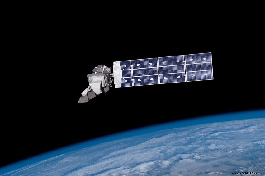
Landsat 9, a NASA satellite developed to monitor the land surface of our planet, was successfully launched this Monday, September 27 from California. It will work in tandem with Landsat 8 to continue the essential role of this program in monitoring, understanding and managing Earth's resources.
Landsat is an Earth observation space program developed in the mid-1960s by NASA, at the request of the American Institute of Geological Studies (USGS) and the agriculture department. Since then, nine satellites have been launched. Landsat 9, the latest, lifted off successfully this Monday, September 27 from Space Launch Complex 3E in Vandenberg aboard a United Launch Alliance (ULA) Atlas V rocket. The satellite is currently heading towards its final orbital altitude, at 705 kilometers above the ground.
These nine satellites, which have a wide field of view (fifteen degrees), operate in a sun-synchronous orbit. On board, several instruments allow researchers to capture several million images in visible, panchromatic and infrared light. Among other fields of application, the latter promote the study of climate change and land use.
Landsat 9 joins its sister satellite, Landsat 8, in orbit. Working in tandem, the two satellites will collect images covering the entire planet every eight days.
"Landsat 9 will be our new eyes to observe our changing planet “, said Thomas Zurbuchen, associate administrator for science at NASA. “By working in tandem with the other Landsat satellites, as well as our partners at the European Space Agency operating the Sentintel-2 satellites, we are getting a more complete view of Earth than ever before. We will have sightings from anywhere on our planet every other day “.
As the impacts of the climate crisis worsen are intensifying around the world, Landsat 9 will support science-based decision-making on key issues, including water use, the impacts of wildfires, coral reef degradation, retreating glaciers and tropical deforestation. “With a fifty-year-old data bank to build upon, Landsat 9 will take this historic and invaluable global program to the next level “, also underlines Bill Nelson, the current administrator of NASA.
Finally, remember that all Landsat images and integrated data are free and accessible to the public. NASA has already registered more than one hundred million downloads since 2008.